seaturtle.org
Multimedia Image Library Maptool Tracking Webmail Members News Links Search Help Donate


Satellite Tracking

Why did animal X stop transmitting?

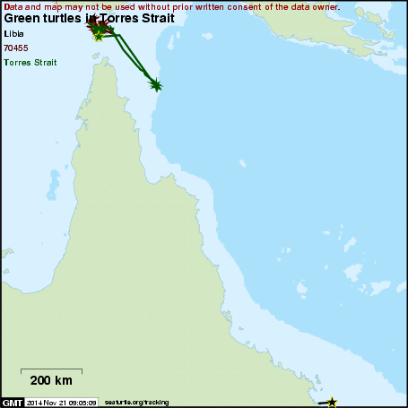
Green turtles in Torres Strait

A project of JCU, Badu & Mabuiag in conjunction with the partners and sponsors detailed below.

Subscribe to receive daily project updates

NameSpeciesLife StageRelease DateLast LocationDays Transmitted
54531 Green TurtleAdult2015-10-152016-02-01109
QA7207 Green TurtleAdult2010-09-212011-02-10142
Torres Strait Green TurtleAdult2010-09-202011-03-04165

Click on an animal's name for maps and more information.
Introduction

This project uses FastLoc transmitters to investigate the fine scale habitat use of green turtles in Torres Strait. It is a collaborative project with JCU, Badu Rangers, Mabuiag Rangers and the Torres Strait Regional Authority.

  • The presentation of data here does not constitute publication. All data remain copyright of the project partners. Maps or data on this website may not be used or referenced without explicit written consent.
  • For more information please visit the project website.
  • If you have questions or would like to request the use of maps or data for this project please contact mark.hamann@jcu.edu.au.

SEATURTLE.ORG collaborates with Argos to help scientists and conservationists manage and analyse their valuable animal tracking data.

About seaturtle.org FAQ Privacy Policy Terms of Service

Copyright © seaturtle.org All rights reserved.

If you have questions or comments about seaturtle.org please contact support@seaturtle.org.

If you have questions or comments about the website please contact the webmaster.