Satellite Tracking
Why did animal X stop transmitting?
Posidonia - Internesting and post-nesting movements of loggerheads from southern Kyparissia Bay, Greece
A project of ARCHELON.
Static Map | Zoom Map | Animated Map (KB)
Subscribe to Project Updates
Background
Posidonia takes her name from the endemic to the Mediterranean sea seagrass species Posidonia oceanica,/i>.
The Posidonia ecosystem provides home to many species of fish, as well as shelter to the eggs of many organisms. For sea turtles, it provides habitat and feeding ground. The genus Posidonia is named after Poseidon, the Greek god of the seas!
- The presentation of data here does not constitute publication. All data remain copyright of the project partners. Maps or data on this website may not be used or referenced without the explicit written consent of the data owners.
- For more information please visit the project website.
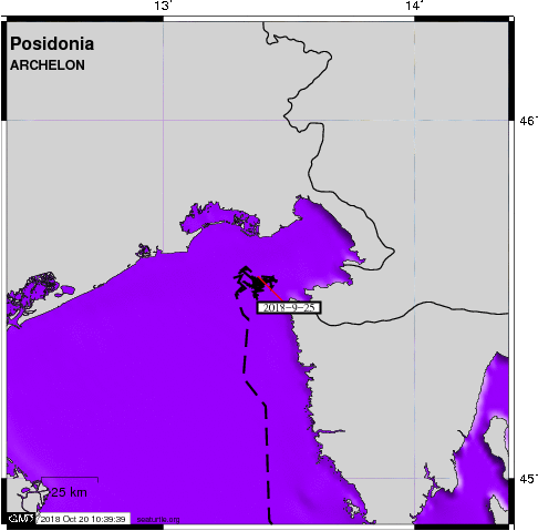
- This map connects positions generated by the ARGOS system designated as location class (lc) '3', '2', '1', 'A'. Locations that have been "filtered" are displayed as small red dots.
- This maps also shows locations of class 'A' as small black dots which are not connected by a route line.
- Bathymetry layers are derived from the GEBCO One Minute Grid.
- Sea surface temperature and chlorophyll are derived from NASA's Ocean Color data.
- Ocean currents and sea surface heights are derived from AVISO's Ssalto/Duacs Gridded Absolute Dynamic Topography & absolute geostrophic velocities data.
SEATURTLE.ORG collaborates with Argos to help scientists and conservationists manage and analyse their valuable animal tracking data.


| 


