


|
|
|
|---|
| MTN | ISTS | Directory | Groups | Bookstore | Resources |
|---|
|
Satellite TrackingManako - Exploring Albatross Movements - 2004 duty cycled A project of Albatross Conservation Collaborative. Static Map | Zoom Map | Animated Map (KB) 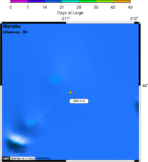 Manako was born on Midway Atoll, Sand Island, in the Northwestern Hawaiian Islands. When he was brought into the boat at Cordell Bank, a silver band on the right leg was engraved with a number that told the bird's birthplace and age. Manak� is 4 years old, not of breeding age yet, and probably has not returned to Hawaii since departing in 2000. The tag attached to the feathers will transmit locations every other day (24 hours on / 24 hours off) for up to 80 days. Knowing the age and history of this albatross is very lucky! Background The Black-footed Albatross has been recently upgraded by the International Union for the Conservation of Nature (IUCN) to the "Endangered" status, on the basis of a projected future decline of more than 60% over the next three generations (56 years). This decline has been attributed, at least in part, to bycatch in demersal and pelagic longline fisheries in the North Pacific Ocean.
SEATURTLE.ORG collaborates with Argos to help scientists and conservationists manage and analyse their valuable animal tracking data. 
|
| About seaturtle.org | FAQ | Privacy Policy | Terms of Service |
|---|
|
Copyright © seaturtle.org All rights reserved. If you have questions or comments about seaturtle.org please contact support@seaturtle.org. If you have questions or comments about the website please contact the webmaster. |